


PULASKI - T 1 Voting District, Iowa County, Wisconsin
About
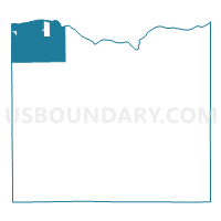
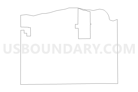
Outline

Summary
| Unique Area Identifier | 694041 |
| Name | PULASKI - T 1 Voting District |
| County | Iowa County |
| State | Wisconsin |
| Area (square miles) | 44.59 |
| Land Area (square miles) | 43.27 |
| Water Area (square miles) | 1.32 |
| % of Land Area | 97.04 |
| % of Water Area | 2.96 |
| Latitude of the Internal Point | 43.15774170 |
| Longtitude of the Internal Point | -90.35480160 |
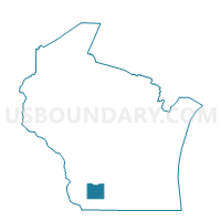
Maps

Graphs
Select a template below for downloading or customizing gragh for PULASKI - T 1 Voting District, Iowa County, Wisconsin


Neighbors
Neighoring Voting District (by Name) Neighboring Voting District on the Map
- Avoca - V 1 Voting District, Iowa County, WI
- BUENA VISTA - T 1 Voting District, Richland County, WI
- CASTLE ROCK - T 1 Voting District, Grant County, WI
- CLYDE - T 2 Voting District, Iowa County, WI
- CLYDE - T 3 Voting District, Iowa County, WI
- EAGLE - T 1 Voting District, Richland County, WI
- HIGHLAND - T 1 Voting District, Iowa County, WI
- HIGHLAND - T 2 Voting District, Iowa County, WI
- MUSCODA - T 1 Voting District, Grant County, WI
- MUSCODA - T 2 Voting District, Grant County, WI
- Muscoda - V 1 Voting District, Grant County, WI
- Muscoda - V 1 Voting District, Iowa County, WI
- Muscoda - V 2 Voting District, Grant County, WI
- ORION - T 1 Voting District, Richland County, WI
Top 10 Neighboring County Subdivision (by Population) Neighboring County Subdivision on the Map
- Buena Vista town, Richland County, WI (1,869)
- Muscoda village, Grant County, WI (1,249)
- Muscoda town, Grant County, WI (769)
- Highland town, Iowa County, WI (750)
- Avoca village, Iowa County, WI (637)
- Orion town, Richland County, WI (579)
- Eagle town, Richland County, WI (531)
- Pulaski town, Iowa County, WI (400)
- Clyde town, Iowa County, WI (306)
- Castle Rock town, Grant County, WI (248)
Top 10 Neighboring Place (by Population) Neighboring Place on the Map
Top 10 Neighboring Unified School District (by Population) Neighboring Unified School District on the Map
- Richland School District, WI (11,127)
- River Valley School District, WI (9,364)
- Riverdale School District, WI (4,900)
- Highland School District, WI (1,605)
Top 10 Neighboring State Legislative District Lower Chamber (by Population) Neighboring State Legislative District Lower Chamber on the Map
Top 10 Neighboring State Legislative District Upper Chamber (by Population) Neighboring State Legislative District Upper Chamber on the Map
Top 10 Neighboring 111th Congressional District (by Population) Neighboring 111th Congressional District on the Map
Top 10 Neighboring Census Tract (by Population) Neighboring Census Tract on the Map
- Census Tract 9705, Richland County, WI (4,240)
- Census Tract 9601, Grant County, WI (3,656)
- Census Tract 9502, Iowa County, WI (3,147)